Search Results
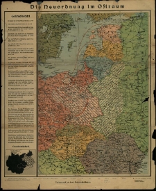
Neuordnung im Ostraum.
- Library catalog: Kartografia
- Data wydania: [1940 po]
- Sygnatura: M III 665
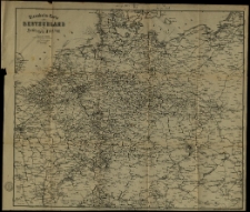
Eisenbahn-Karte von Deutschland zu Hendschel's Telegraph.
- Library catalog: Kartografia
- Data wydania: [1900 ca]
- Sygnatura: M III 729
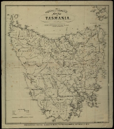
Cornwall Chronicle New Map of Tasmania. Lithographed by HGDe Gruchy and Co. at their Colonial Map Depôt [...] Melbourne.
- Library catalog: Kartografia
- Data wydania: 1873
- Sygnatura: M IV 307
Weltkarte der Schnell- und Postdampfer Linien des Norddeutschen Lloyd Bremen. Entworfen von Paul Larghans.

- Library catalog: Kartografia
- Data wydania: [1914 przed]
- Sygnatura: M IV 308
[Plan starożytnego Rzymu].
- Library catalog: Kartografia
- Data wydania: 1850 ca]
- Sygnatura: S 49
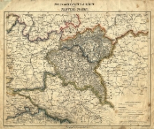
Post- und Verwaltungs- Karte der Provinz Posen.
- Library catalog: Kartografia
- Data wydania: [1840 ca]
- Sygnatura: M III 179
Karte des Wongrowiecer Kreises Reg. Bezk. Bromberg H. Delius grav. Nowack gez.
- Library catalog: Kartografia
- Data wydania: 1838
- Sygnatura: M III 016
Karte von der Grenze zwischen einerseits Swierczyn und Chmielnikowo andrerseits Kleszczewo, sowie Bojanice und Brzostownica. Nach der örtlichen Feststellung und Behügelung, auf Grund der Verhundlungen vom 6ten und 25ten November 1844 - Aufgenomen im November 1844, durch Radicke.
- Library catalog: Kartografia
- Data wydania: 1844
- Sygnatura: M III 560
Świat - mapa polityczna.
- Library catalog: Kartografia
- Data wydania: 2001/2002
- Sygnatura: M IV 309
[Mapa świata starożytnego].
- Library catalog: Kartografia
- Data wydania: 19 w. ca]
- Sygnatura: S 54
Osadnictwo pogranicza polsko-ruskiego. Województwo bełskie od schyłku XIV do początku XVII w.
- Library catalog: Kartografia
- Data wydania: 1993
- Sygnatura: A II 206
Central Scotland Pre 1939.
- Library catalog: Kartografia
- Data wydania: [1939]
- Sygnatura: M III 732
Improved Chart of the English Channel with the Bristol Channel and the South Coast of Ireland Including the Edge of the Bank of Soundings. Drawn from the Latest Surveys by J. S. Hobbs.
- Library catalog: Kartografia
- Data wydania: 1864
- Sygnatura: M IV 314
Geograficzny atlas świata.
- Library catalog: Kartografia
- Data wydania: [1990]
- Sygnatura: A III 209
New Chart of the Bay of Biscay with Plans of the Principal Harbours: Coast of France Drawn from Surveys of M. Beautemps Beaupre and that of Spain from Don Vincent Tofi~3no.
- Library catalog: Kartografia
- Data wydania: 1852
- Sygnatura: M IV 310
Mapa do pracy p.t.: Rozwój morfologiczny progu Pogórza Karpackiego międz Dębicą a Trzcianką.
- Library catalog: Kartografia
- Data wydania: [1968 ca]
- Sygnatura: M III 524
Chart of the White Sea Constructed from the Surveys, Made by Order of the Russian Government under the Direction of Captain Lieutenant Reinecke Revised with Additions and Improvements.
- Library catalog: Kartografia
- Data wydania: 1863
- Sygnatura: M IV 311
Werstern Portion of the Mediterranean Sea Compiled from the Most Recent Surveys.
- Library catalog: Kartografia
- Data wydania: 1864
- Sygnatura: M IV 312
Gulf of Bothnia Compiled from the Latest Surveys by J. S. Hobbs.
- Library catalog: Kartografia
- Data wydania: 1863
- Sygnatura: M IV 313
Chart of the Coast of France from Brehat Island to Brest with Enlarged Plans of the Principal Harbours and Roadssteads Drown from the Late French Surveys by J. S. Hobbs.
- Library catalog: Kartografia
- Data wydania: 1863
- Sygnatura: M IV 315

Viewed records 1221-1240 from 3236